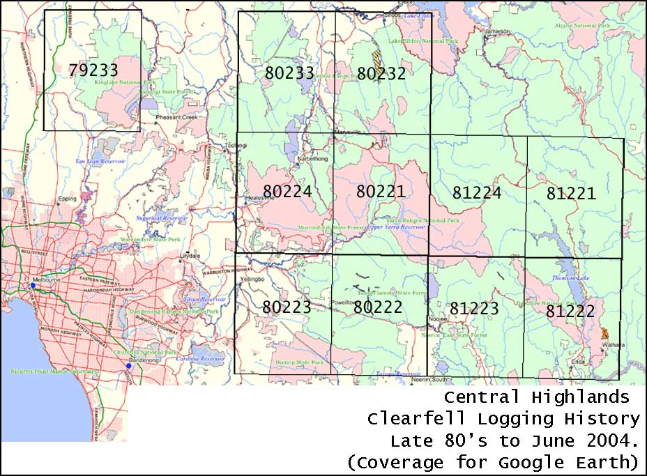
Central Highlands clearfell logging history
VRN has created overlays for Google Earth to expose the cumulative effect of clearfell logging on the forested landscape of the Central Highlands.
Find out more about why it is necessary to use overlays to see the extent of past clearfell logging.
Download clearfell logging overlay
The Central Highlands clearfell logging overlays for Google Earth cover the area shown in the map below.
The clearfell logging files for Google Earth contain 11 individual maps that each cover the same area as a standard 1:50,000 topographic maps. The numbers in black on the map are the key for each individual clearfell logging overlay for Google Earth.
When these overlays are activated in Google Earth, the cumulative clearfell logging effect can be revealed. The pink areas on this overlay represent forest that was clearfell logged from the late 1980's to June 2004.
Note: Do not overload your computer. See more.
Download all logging overlays or select individual overlays from index map.
The source maps are publicly available and can be viewed on the DSE SFRI mapping web site. It should be noted that the overlay VRN has created is only as accurate as the government's SFRI mapping, you may pick up some discrepancies when using Google Earth. Additionally any logging that has occurred in the past few years will not be revealed as the Google Earth and the government's SFRI maps do not include this. (Hence more forest has been clearfell logged than what is revealed). Note: SFRI = Statewide Forest Resources Inventory.
It is handy to be able to see the National Park and reserves boundaries on Google Earth for East Gippsland.
Note:
- If all the clearfell logging overlays are turned on, Google Earth may be slow or jerky. To avoid this, do not turn all layered maps on at once.
- VRN has taken care to align these images as accurately as possible however there may be some misalignment in some places.
Some things you may want to look at in Google Earth
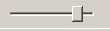
- Fade the overlays in and out to reveal the area clearfell logged.The fade bar looks like this and is under the list of GoogleEarth places:
- If you have downloaded the Central Highlands Rainforest Ecological Vegetation Classes overlays then you can see if logging occurred near rainforest stands.
- If you have downloaded the Central Highlands Rainforest Sites Of Significance (RSOS) overlay you can see the extent of clearfell logging within RSOS.