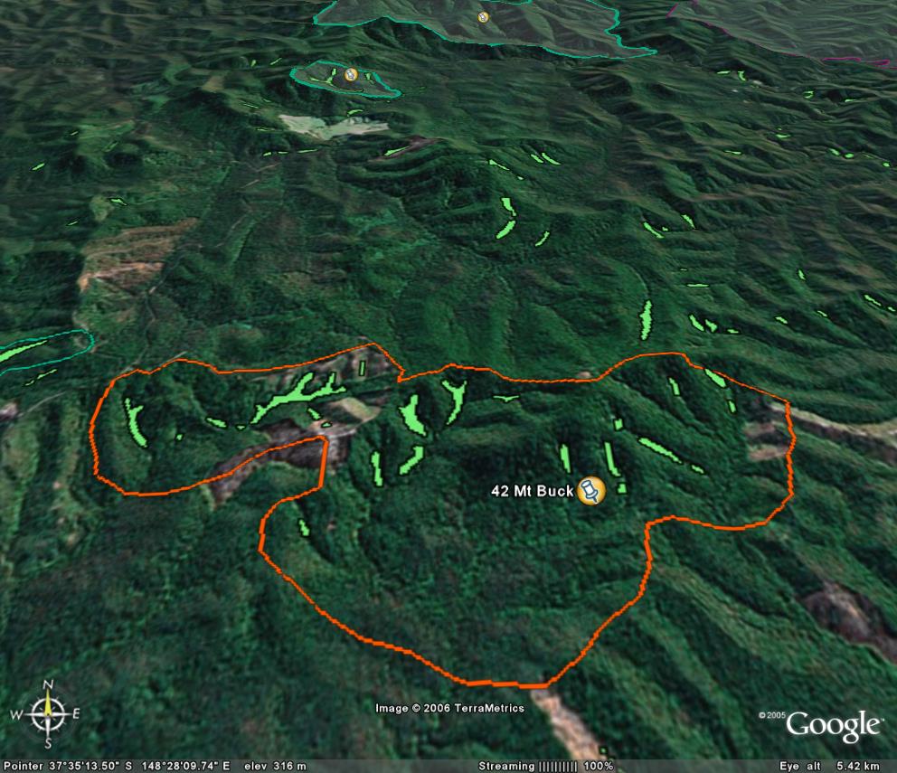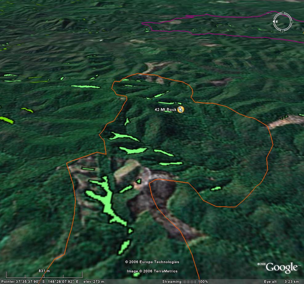
Image description: Extensive recent clearfell logging (shown in pink) has come close to large stands of warm temperate rainforest on the western slops of Mt Buck.
Site in two parts. 1986 LCC recommendation covers this site.
The Mount Buck area has several sites of botanical significance. Western sub-catchment logged out recently. Other sub-catchment South East of Mt Buck is in excellent condition.
Public land management zones within RSOS |
||
Approximate total area: 1340ha |
|
|
|
% |
ha |
F&F reserves |
0%
|
0
|
SPZ |
15%
|
201
|
SMZ |
13%
|
174.2
|
GMZ |
0.72
|
964.8
|
Private |
|
0
|
Area logged |
0.25
|
335
|
The Rainforest EVC (Ecological Vegetation Class) and RSOS boundaries have been overlayed onto Google Earth imagery to produce images that give a three dimensional perspective of the landscape where rainforest communities exist in East Gippsland. (Note: Rainforest EVC colour code is not consistent for all images.)

Image description: Extensive recent clearfell logging (shown in pink) has come close to large stands of warm temperate rainforest on the western slops of Mt Buck.

Image description: In 1986, a Land Conservation Council East Gippsland report identified this rainforest stand (where this logging has occurred) as a place where many endangered species exist and should be protected. TOO LATE!