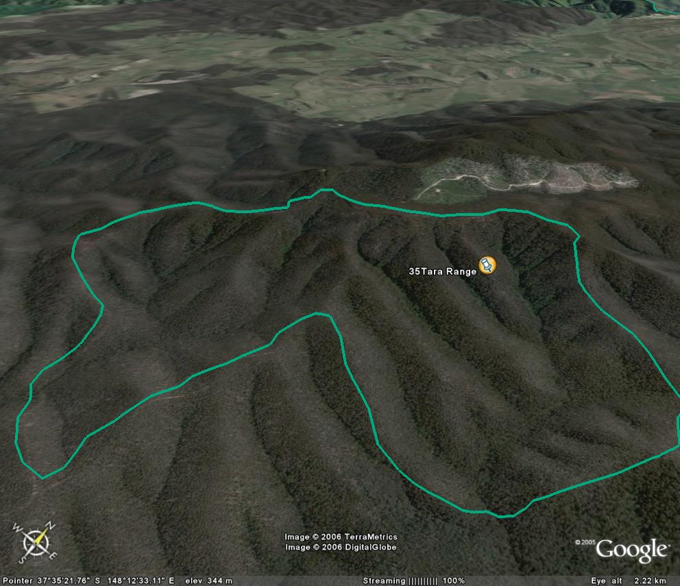
Image description: Warm Temperate rainforest is so obvious in the catchments of this image, a EVC rainforest overlay is not required.
Sharp transition from Dry Forest to Rainforest.
Excellent site, with little logging impact. Logging to North of Tarra Range threatens edge of this site. (Large contiguous stand of rainforest outside this site to the south west should also be protected). Some rainforest sub catchments protected by informal Special Protection Zones.
Public land management zones within RSOS |
||
Approximate total area: 610ha |
|
|
|
% |
ha |
F&F reserves |
0%
|
0
|
SPZ |
50%
|
305
|
SMZ |
0%
|
0
|
GMZ |
0.5
|
305
|
Private |
|
0
|
Area logged |
0
|
0
|
The Rainforest EVC (Ecological Vegetation Class) and RSOS boundaries have been overlayed onto Google Earth imagery to produce images that give a three dimensional perspective of the landscape where rainforest communities exist in East Gippsland. (Note: Rainforest EVC colour code is not consistent for all images.)
Image description: Warm Temperate rainforest is so obvious in the catchments of this image, a EVC rainforest overlay is not required.
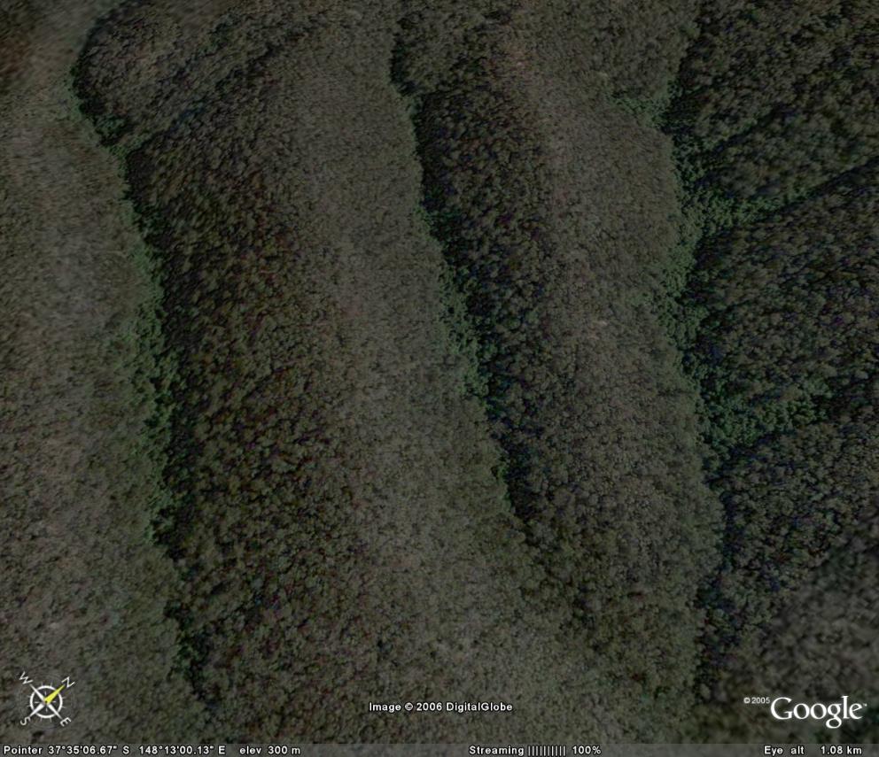
Image description: Close up of warm temperate rainforest which is the darker green forest along the creeks.
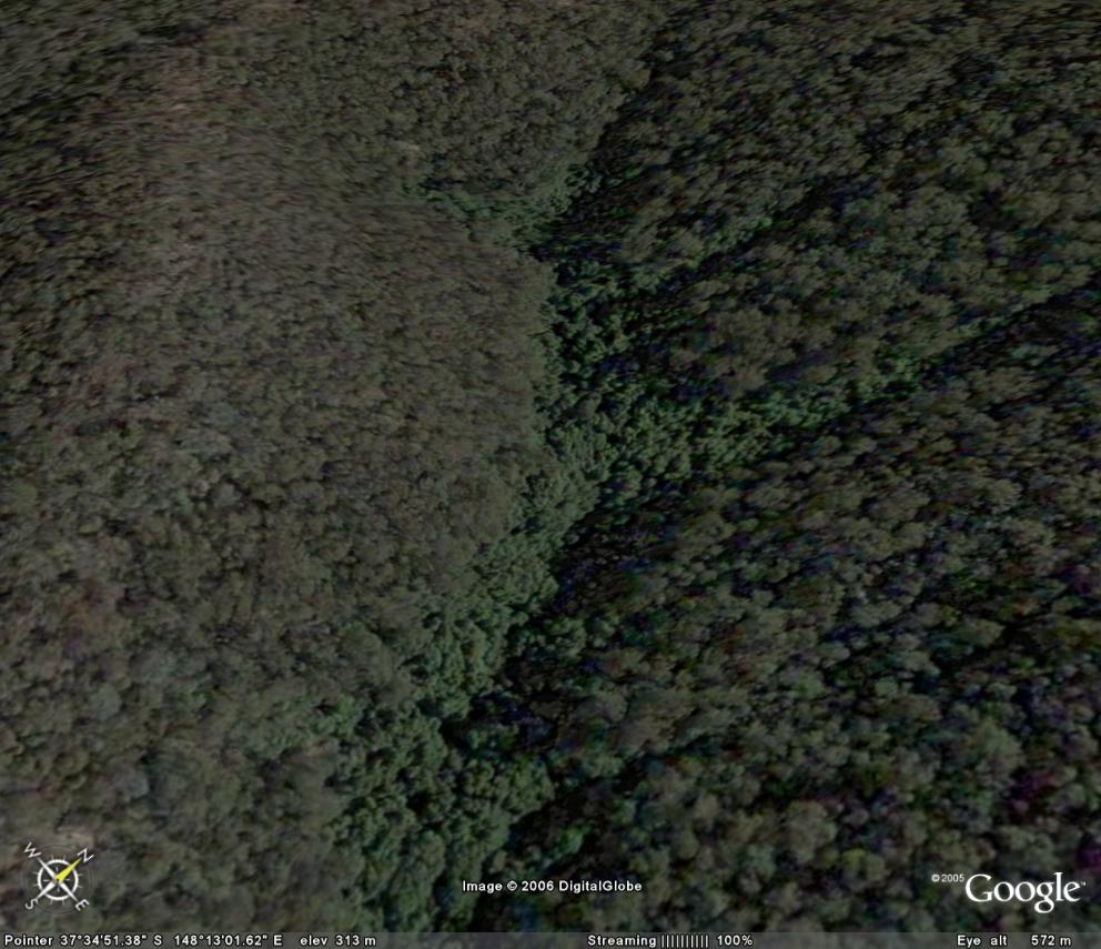
Image description: Close up of warm temperate rainforest which is the darker green forest along the creeks.