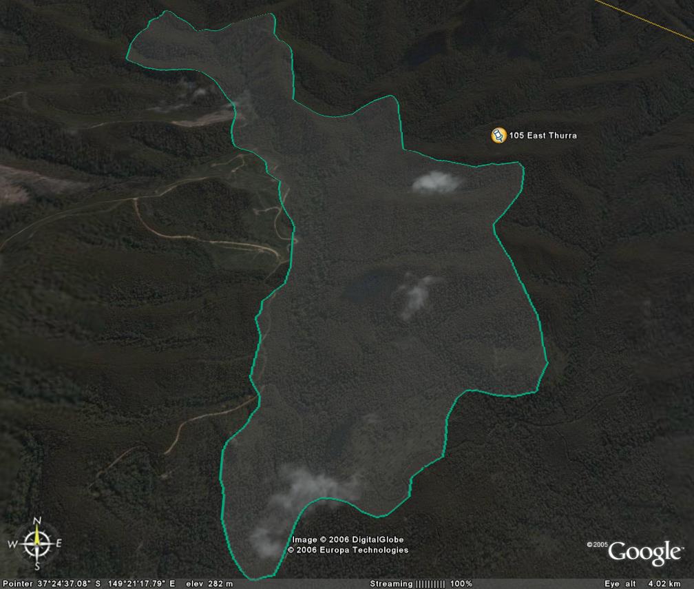
Image description: Warm temperate rainforest is along river (East Branch Thurra river).
Two rainforest subcommunities, one mature and one floristically rich.
Good site, one thinning coupe planned. Extensive recent clearfell logging to western side has already occurred.
Public land management zones within RSOS |
||
Approximate total area: 648ha |
|
|
|
% |
ha |
F&F reserves |
0%
|
0
|
SPZ |
75%
|
486
|
SMZ |
0%
|
0
|
GMZ |
0.25
|
162
|
Private |
0
|
0
|
Area logged |
0.1
|
64.8
|
The Rainforest EVC (Ecological Vegetation Class) and RSOS boundaries have been overlayed onto Google Earth imagery to produce images that give a three dimensional perspective of the landscape where rainforest communities exist in East Gippsland. (Note: Rainforest EVC colour code is not consistent for all images.)
Image description: Warm temperate rainforest is along river (East Branch Thurra river).
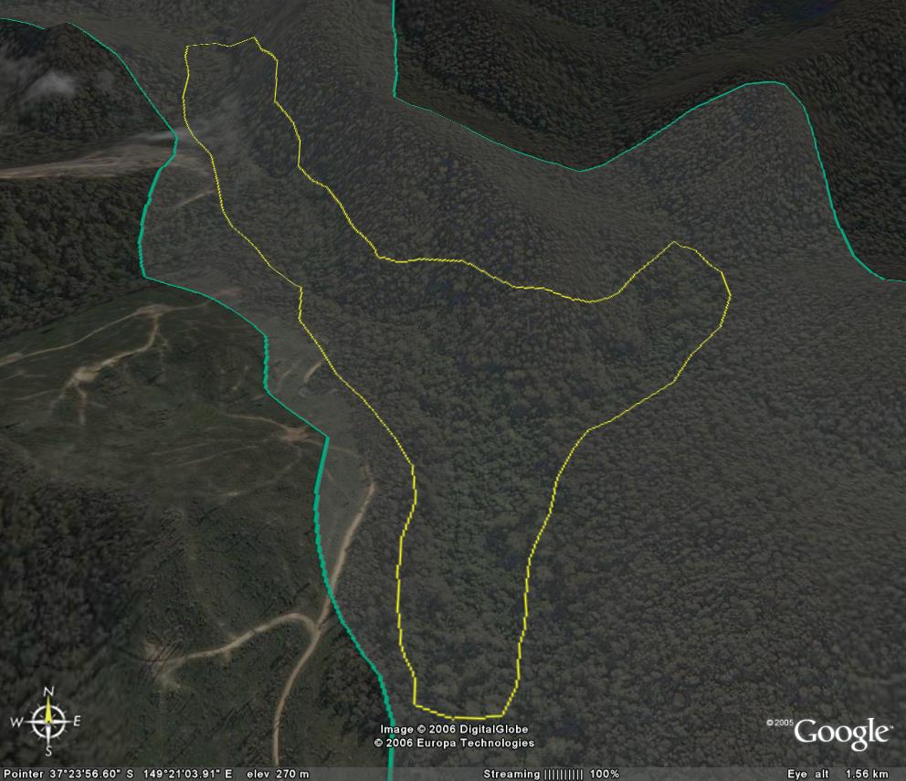
Image description: Close up warm temperate rainforest (inside yellow line)
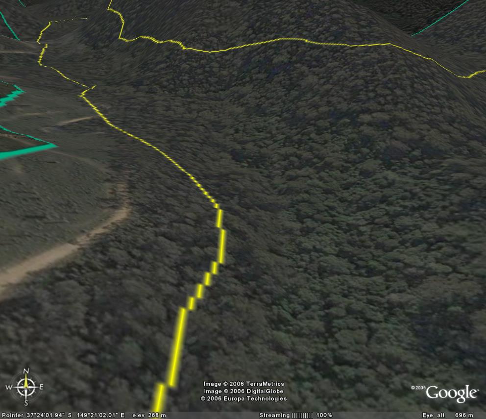
Image description: Very close up warm temperate rainforest (inside yellow line)