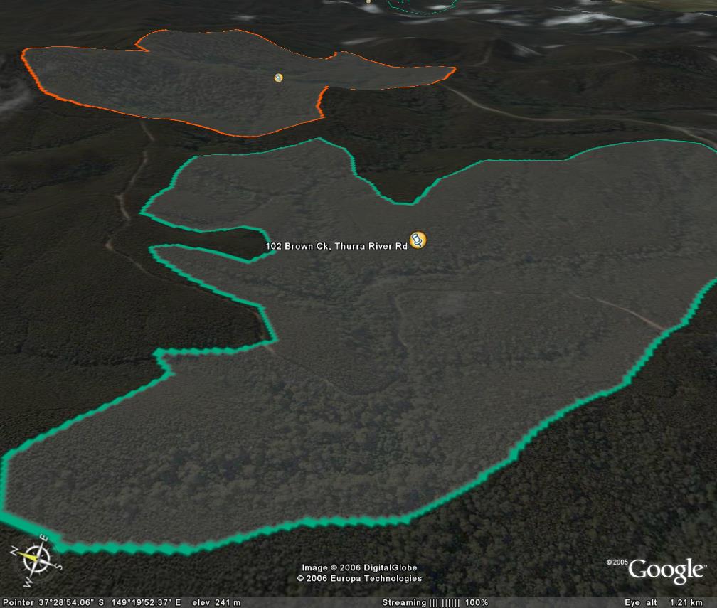
Image description: Darker green areas along creek are large warm temperate rainforest stands. Note that surrounding forest all regrowth except along river.
Logged out.
Rainforest stands are still in good condition. Mostly regrowth forest after past logging in dry foothill forest.
Public land management zones within RSOS |
||
Approximate total area: 270ha |
|
|
|
% |
ha |
F&F reserves |
0%
|
0
|
SPZ |
20%
|
54
|
SMZ |
0%
|
0
|
GMZ |
0.8
|
216
|
Private |
0
|
0
|
Area logged |
0.8
|
216
|
The Rainforest EVC (Ecological Vegetation Class) and RSOS boundaries have been overlayed onto Google Earth imagery to produce images that give a three dimensional perspective of the landscape where rainforest communities exist in East Gippsland. (Note: Rainforest EVC colour code is not consistent for all images.)
Image description: Darker green areas along creek are large warm temperate rainforest stands. Note that surrounding forest all regrowth except along river.